


NVCT Interview: Lucas Theobald

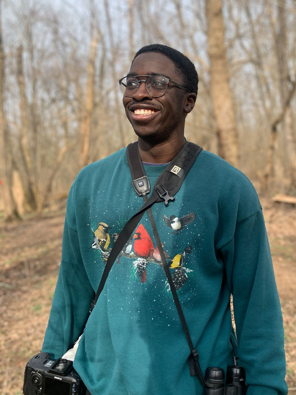
Lucas Theobald is our current Land Conservation Fellow. Lucas joined the team in May and has since been given the full NVCT experience. Lucas helped the team run the annual gala, has been a part of board meetings, and has joined members of the lands team on various site visits. Lucas is an experienced geographic information systems (GIS) user and had previously worked on creating maps for campaigns centered around the conservation of a specific region. This stood out to us, as NVCT is continuously working to multiply the benefits that protected land provides, by conserving land with the most beneficial features. Lucas is currently working on a mapping project that identifies unprotected land in the region with high conservation value, taking into account many natural, historic, and human-centric features.
Did you grow up in Northern Virginia?
“Yes, I grew up in Fairfax County!”
What are some of your favorite activities to take part in outside?
“Great Falls is absolutely a top Virginia destination. I feel privileged to have grown up in this region where nature is everywhere.”
Where did you go to school and what did you study? Why did you pick your field of study?
“I went to William and Mary, and I studied integrative conservation, data science, and marine science.” Growing up surrounded by nature, Lucas always had an appreciation for it. “I found something I was passionate about, and through my time in school I’ve found that mapping is something I enjoy doing and can use to support conservation.” Lucas described how his favorite part of mapping is that it is a tool used to communicate science to the public and can help scientists also visualize what they are trying to achieve. For NVCT, mapping is a tool we use to be more strategic about our conservation efforts, as well as to create compelling visuals to share with the community.
How did you find the fellowship posting? What made you want to apply?
“I found it through the Society for Conservation GIS. I was already pretty involved with the Society, and I wanted a position where I could apply GIS to conservation. This was a local position, and I liked the time frame of a year.”
In previous years, NVCT ran a separate summer internship and school year fellowship program; this year is the first year we have combined the two. Through the new fellowship program, fellows are onboarded at the end of the spring semester of school in May, and stay on for a full year. This way, fellows are able to work on larger projects and have more time to become familiar with the organization and staff before becoming more independent.
Has community nonprofit work or environmental work ever been part of your plans?
“I didn’t know if it would be a nonprofit or a scientific organization, but I knew I wanted to work in tandem with a field team to do something for conservation, whether that be for a consulting agency, a university or a nonprofit.”
How do you feel your previous experiences lend themselves to this new role?
NVCT is not Lucas’s first experience in conservation science. He has also worked with the Virginia Institute of Marine Science and the Virginia Department of Conservation and Recreation. “When I was a student researching at the Virginia Institute of Marine Science, I was working in the salt marshes on the East Coast (Wachapreague, VA). We would go out and collect vegetation and water samples, test them, then analyze our findings.”
Additionally, Lucas feels that he was well prepared by his coursework and previous internships for this position; he also enjoys the agency he has over his work. “This position aligns with what I was studying, and I feel well prepared for the application. I really like that, since it is a smaller group, I have more creative freedom to take the team's goals and desires and make them a reality with my knowledge and abilities.”
What has been your favorite part of working at NVCT?
“Seeing the work come to life and be used in real time and knowing that land we protect is conserved forever.” Lucas has been able to present maps he has created to the lands team and has made significant progress on identifying unprotected land in need of protection!
What do you feel you have gained so far? How do you feel this experience differs from a typical class?
“I’ve gotten to apply the skills I learned in my coursework. Being in a professional setting has helped me practice communicating with teammates to complete tasks and use my abilities to help them meet their goals.” Lucas spoke to one of his favorite aspects of mapping: “When I was in school, throughout my GIS courses, the connection to the everyday person was heavily emphasized. That resonated with me. I love using mapping as a tool to communicate science so others can connect with it. I am here to advocate for that connection and display it in the best way I can.”
What are your plans after this fellowship?
“Continue in the field of conservation. I would like a similar position; I would love to be able to analyze data for a conservation-based organization.”
Lucas has been a wonderful addition to the team and has truly become an essential part of our conservation mapping projects. We can’t wait to see where he goes next!

Comments